
Before digital terrain models.
Before colored depth maps.
Before RAS Mapper.
Computing the water-surface profile on a river could mean solving the energy equation iteratively, by hand, section by section.
It was slow.
Very slow.
HEC-RAS was born from decades of attempts to turn that hydraulic process into software.
And its history begins in the 1960s.
The original problem: water profiles
Imagine a river.
We know:
- geometry;
- discharge;
- roughness;
- slope.
We want to know:
at what elevation will the water stand?One of the classic techniques is the Standard Step Method.
The engineer advances from cross section to cross section solving the energy equation.
Before modern computing, the process could require enormous amounts of hand calculation.
1964: Backwater — Any Cross Section
Gary Brunner, who later led the development of HEC-RAS, documented the history of this software.
In 1964, Bill Eichert developed for the U.S. Army Corps of Engineers a program called Backwater — Any Cross Section.
The name explained exactly its advantage.
It could compute profiles for irregular sections, not only rectangular or trapezoidal channels.
1966: FORTRAN
The program was rewritten in FORTRAN in 1966 and distributed more widely.
Over time this software line evolved into HEC-2.
HEC-2 became a reference tool for one-dimensional hydraulic profiles in steady flow.
HEC-2
HEC-2 mainly solved:
1D
+
steady flow
+
water surface profiles
It could represent:
- rivers;
- sections;
- bridges;
- structures.
For decades it was used in hydraulic studies.
But computing had changed.
Engineers needed:
- a graphical interface;
- better data management;
- unsteady flow;
- better geospatial integration.
The NexGen generation
HEC started a modernization of its tools.
In the same way that HEC-HMS replaced HEC-1, a new tool would replace HEC-2.
That software was called HEC-RAS: River Analysis System.
Gary Brunner
HEC-RAS was designed by Gary W. Brunner, who led the development team for decades.
Brunner became one of the best-known figures in applied computational hydraulics inside USACE.
July 1995: HEC-RAS 1.0
The first public version of HEC-RAS was published in July 1995.
Initially the program still concentrated on the problem HEC-2 knew very well:
- 1D steady-flow profiles.
But the new architecture allowed it to evolve much further.
The energy equation remains at the center
For gradually varied 1D flow, HEC-RAS solves the energy equation between sections.
Conceptually:
elevation
+
depth
+
kinetic energy
=
downstream energy
+
losses
The losses include:
- friction;
- contraction;
- expansion.
The momentum equation can be used in special situations.
Cross sections
For years the typical HEC-RAS model was built around:
River
↓
Reach
↓
Cross Sections
Each section includes:
- geometry;
- stations;
- elevations;
- Manning n;
- banks.
That represents the river as an essentially one-dimensional system.
Bridges and culverts
One reason HEC-RAS became so important is that it does not model only simple channels.
It includes tools for hydraulic structures.
For example:
- bridges;
- culverts;
- inline structures;
- lateral structures;
- gates;
- weirs.
That makes it especially useful in real civil engineering.
From steady to unsteady
The next great leap was unsteady flow.
Now discharge could change with time.
Q = Q(t)This makes it possible to study:
- flood waves;
- structure operation;
- dam breaks;
- levee breaches.
The problem is no longer simply computing a static profile.
The system has to be simulated as it evolves.
Dam break
HEC-RAS became a widely used tool for analyzing:
- dam breaks;
- overtopping;
- levee breaches.
A model can represent:
reservoir
↓
breach
↓
flood wave
↓
valley
These analyses are essential for emergency planning.
GIS and RAS Mapper
For years, HEC-RAS geospatial preparation was closely tied to external tools such as HEC-GeoRAS.
Over time HEC began to integrate GIS capabilities directly.
RAS Mapper appeared.
That changed the user experience deeply.
Now the engineer can work directly with:
- terrain;
- geometry;
- land cover;
- Manning layers;
- spatial results.
2016: HEC-RAS 5.0 and the leap to 2D
One of the most important milestones came with HEC-RAS 5.0.
The 2016 documentation introduced:
- 2D modeling;
- combined 1D/2D models;
- major RAS Mapper improvements.
That transformed HEC-RAS.
It was no longer only a cross-section program.
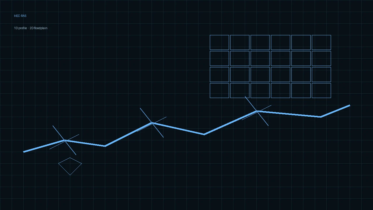
It could represent a floodplain with a 2D mesh.
What does 2D mean?
In a 1D model we assume that the main flow occurs along one axis.
In 2D we solve horizontal motion over a surface.
         ↗
water → cell → cell
         ↘
This is especially important in:
- floodplains;
- cities;
- flows that split;
- alluvial fans;
- dam breaks.
Shallow Water Equations
HEC-RAS 2D can solve formulations related to the shallow-water equations.
These represent conservation of:
- mass;
- momentum.
They allow variables such as:
- depth;
- velocity;
- water surface elevation.
Subgrid terrain
An important feature of the HEC-RAS 2D approach is the use of subgrid topographic information.
The computational cell can be relatively large, but the solver keeps detailed terrain information inside the cell to improve hydraulic relationships.
That helps balance:
detail
vs
computational cost
HEC-RAS 6
The 6 generation expanded 2D capabilities substantially.
Among other things:
- new solvers;
- turbulence improvements;
- mud and debris flow;
- 2D sediment;
- water quality.
HEC-RAS stopped being simply a “profile calculator.”
HEC-RAS 7 in 2026
On 17 April 2026, HEC published HEC-RAS 7.0.
And later: HEC-RAS 7.0.1.
Generation 7 represents a new stage of development and continues to modernize the program’s computational architecture.
What is HEC-RAS used for?
1. Flood maps
Probably one of its best-known uses.
hydrograph
↓
hydraulic model
↓
depth grid
↓
flood map
2. Rivers
It can study:
- profiles;
- velocities;
- stages;
- structure effects.
3. Bridges
It can evaluate:
- backwater;
- opening;
- flow under the bridge;
- overtopping;
- scour with specific tools.
4. Culverts
It includes calculations for culverts and related structures.
5. Dams and levees
It can simulate:
- dam break;
- levee breach;
- overtopping;
- wave propagation.
6. Urban 2D modeling
With good terrain and adequate data it can represent flooding over urban areas.
DEM quality becomes critical.
7. Sediment
HEC-RAS includes capabilities for:
- transport;
- erosion;
- deposition;
- bed change.
8. Water quality
It also has modules for temperature and certain water-quality constituents.
HEC-RAS vs HEC-HMS
The pair is understood like this:
rainfall
↓
HEC-HMS
↓
hydrograph Q(t)
↓
HEC-RAS
↓
stage, velocity, inundation
HEC-HMS is mainly hydrology.
HEC-RAS is mainly hydraulics.
HEC-RAS vs OpenFOAM
It is also useful to compare scales.
HEC-RAS
Especially efficient for:
- rivers;
- floodplains;
- 1D/2D shallow water;
- large domains.
OpenFOAM
More appropriate when we need:
- 3D CFD;
- detailed turbulence;
- complex local geometry;
- three-dimensional fields.
There is no sense in using the more complex engine if the question does not need it.
The contrast is also developed in the history of OpenFOAM.
Free, but not trivial
HEC-RAS is distributed at no cost.
That does not mean flood modeling is easy.
A model depends on:
- terrain;
- Manning n;
- boundary conditions;
- hydrographs;
- mesh;
- timestep;
- structures;
- calibration.
Sensitivity to terrain
In 2D modeling, centimeters or small topographic details can determine:
- where the water travels;
- which streets act as channels;
- which walls block the flow.
Automation
HEC-RAS is also moving toward more modern computational workflows.
The models produce data in formats such as:
- HDF5;
- HEC-DSS;
- raster.
That makes it easier to build pipelines.
For example:
forecast
↓
HEC-HMS
↓
HEC-RAS
↓
process grids
↓
dashboard
↓
alerts
From 1964 to 2026
The full history is extraordinary.
1964
Backwater - Any Cross Section
        ↓
1966
FORTRAN
        ↓
HEC-2
        ↓
1995
HEC-RAS 1.0
        ↓
steady 1D
        ↓
unsteady
        ↓
GIS
        ↓
2016
HEC-RAS 5.0
2D
        ↓
HEC-RAS 6
sediment / advanced 2D
        ↓
2026
HEC-RAS 7
Conclusion
HEC-RAS began by solving one of the most classic problems in hydraulics:
compute the water surface on a river.
But over six decades that question grew.
First 1D profiles.
Then unsteady flow.
Then GIS.
Then 2D.
Then sediment, water quality, and new computational architectures.
Today it can model anything from a bridge to a regional flood.
And even so the fundamental idea remains the same:
represent mathematically how water moves through the territory and through the structures we build.
References
- HEC. River Hydraulics Software at HEC: From HEC-2 to HEC-RAS, Gary Brunner.
- HEC. HEC-RAS Features.
- HEC. HEC-RAS User’s Manual — Foreword.
- HEC. HEC-RAS 5.0 Release Notes.
- HEC. HEC-RAS 7.0 Release Notes.
- HEC. HEC-RAS Downloads.
Evaluation and limitations
Treat the notes below as evaluation context, not as a verified calculation or code check.
Use it for rivers, floodplains, 1D/2D shallow water, and large domains. The map does not replace terrain, roughness, boundary conditions, or calibration. Do not use the more complex engine if the question does not need it.